
Dependable Data for Real-World Decisions

QC Geospatial
Dependable Data for Real-World Decisions
About: QC Geospatial
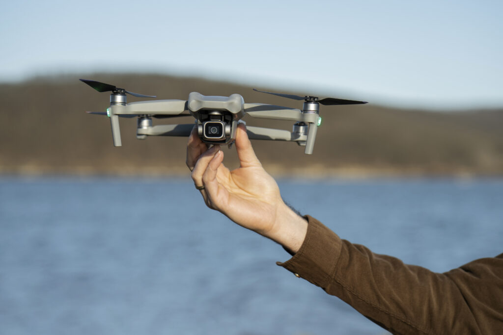
QC Geospatial is an advanced geospatial solutions company, specializing in aerial imagery collection, site analytics, and inspection services. In addition, we can provide GIS services and 3D model creation. Our mission is to make your project run smoother and more efficiently by providing information to aid decision-making and make the job faster, easier, and safer. We combine technical expertise with innovative approaches to provide clear actionable information to customers.
With locations in Traverse City and Gaylord, we are conveniently located to service the needs of northern lower Michigan. QC Geospatial offers flexible solutions and plans to meet the unique needs of our clients. Whether you’re bidding a job, planning a future project, analyzing opportunities, or managing environmental resources, our advanced tools and expert analysis provide the foundation for confident, data-driven decisions to help your business.
Our Services

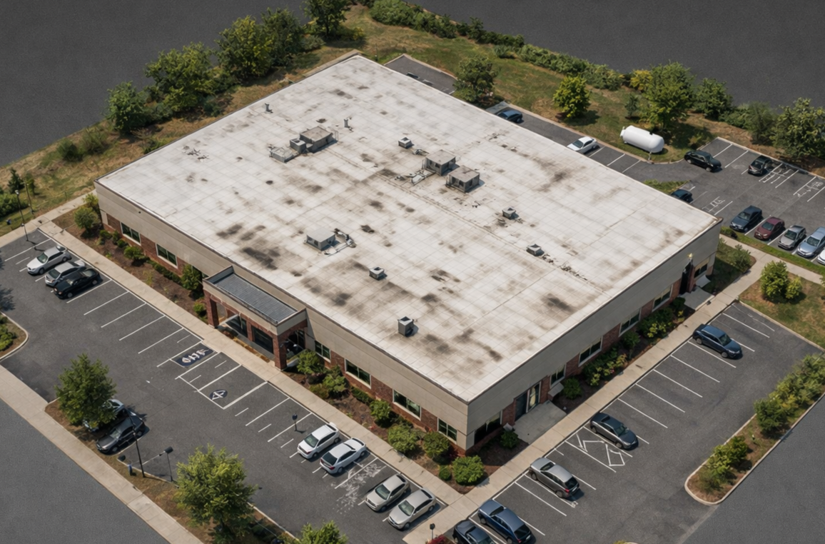
Aerial Inspections
Aerial inspections that help contractors and property owners identify issues without the time, risk, and hassle of manual access. Our services deliver clear, actionable visuals for estimating, documentation, and decision-making. Whether for roofs, sites, utilities, or infrastructure, we make inspections safer, faster, and more efficient.
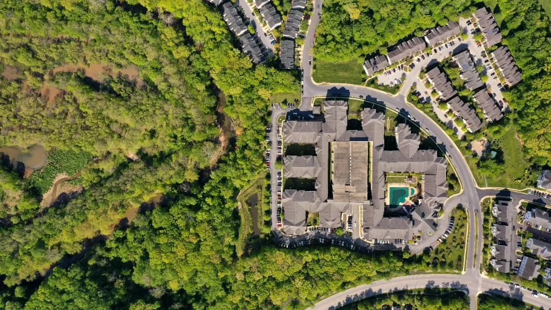
Aerial Imagery and Site Analysis
High-resolution aerial mapping and site visualization to give you clearer information on projects. We deliver clear overhead imagery, volumetric insights for stockpiles, square footage estimates, and proof of progress images. Bid jobs more accurately, track existing jobs, and improve awareness of your space. Our mapping services are fast, practical, and allow easy analysis to aid in decision making.
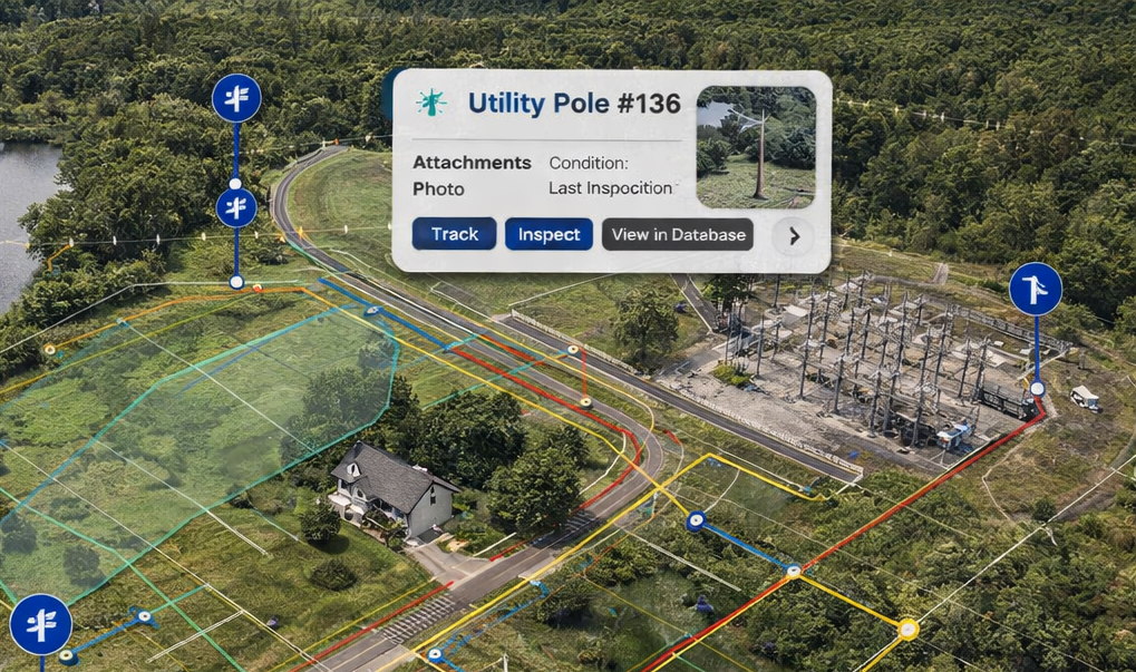
GIS Solutions and Analytics
Organize, visualize, and manage your assets through practical GIS solutions built for real-world use. We capture accurate field data and build clear, easy-to-use maps and data systems that support tracking, maintenance planning, and smarter decision-making across your sites and infrastructure. Our solutions are designed to be practical, scalable, and tailored to how you actually use your data in the field and office.
3D Model Creation
We generate detailed 3D models of sites, structures, and materials to provide a clear and immersive understanding of your project. These models support planning, communication, and analysis, while also serving as powerful tools for marketing, investor presentations, and historic preservation documentation. By turning real-world environments into interactive visuals, we help you better showcase, evaluate, and preserve your assets.